WELCOME TO
CYBERWAVES
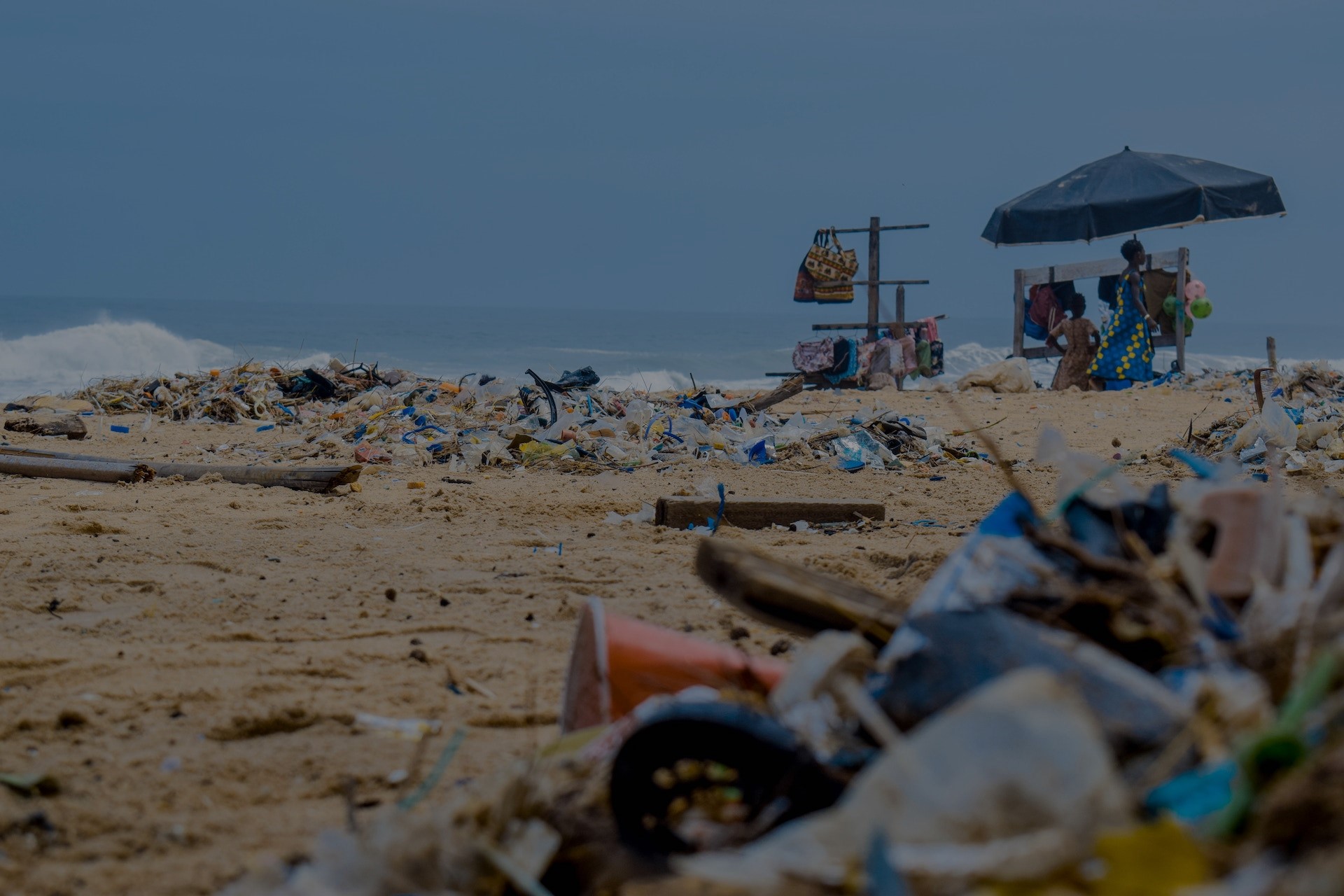
Empowering a wave of technological change to support
cleanup organizations and save our oceans.
OUR MISSION
REVOLUTIONISE CLEANUPS Developing state-of-the-art technology, including ocean currents models, machine learning, and remote sensing, we provide accessible open-source technology for coastal cleanup NGOs to use their resources effectively. Through partnering, we offer them the essential technological tool to find optimal cleanup locations which maximises cost-effectiveness and impact.
CHANGE MINDSETS Sharing this same technology with the public to further understanding, we incentivize collective action and combat the public's mistrust through algorithmic and scientific transparency.
If you are a cleanup organization, contact us for support!
Our Principles
Splastic
Splastic predicts the movement of ocean pollution patches by running ocean currents models, informing NGOs where most pollutants originate from.
By running our ocean model backwards in time, we locate
coastal areas where the most trash comes from, maximizing the
impact of cleanup efforts.
At the moment, we feed in many randomized pollution patch
locations to the model. We hope to use
SeaVision for getting
this info!
We work independently with NGOs to inform them their best plan
of action, but you can try out our visualization platform!
Based around South-East China's coast, you can see where
pollution patches originate or end up!
SeaVision
SeaVision applies machine learning to remotely-sensed high-resolution marine satellite images, locating marine plastic pollution patches.
We aim to map areas of polluted coasts to show the scale of
the problem.
To feed the most accurate marine pollution location data
into
Splastic, we need to
first know where the pollution patches currently are!
Due to the limited number of real-time satellite images we can
purchase, we are unable to display the data.